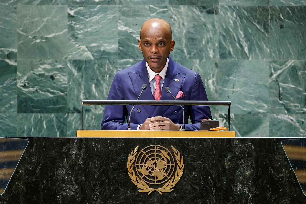
Togo will ask United Nations member states to replace the 16th-century Mercator projection with a world map that more accurately depicts Africa’s true size, Foreign Minister Robert Dussey said Monday.
Critics argue the Mercator map, still used widely in schools and by tech firms, distorts global geography by enlarging land masses near the poles while shrinking those near the equator.


Greenland appears as large as Africa on the projection, though the continent is actually about 14 times bigger.
“The size we see of the African continent on the globe… is geographically inaccurate,” Dussey told Reuters, calling for “scientific truth.” He said the distortion reinforces perceptions of Africa’s marginality despite its vast land area and population, shaping narratives in media, education and policy.
The African Union has tasked Togo with leading the ‘Correct The Map’ campaign, an initiative by advocacy groups Africa No Filter and Speak Up Africa.
The campaign promotes the 2018 Equal Earth projection, which aims to reflect countries’ real proportions. The AU adopted a resolution earlier this year encouraging its 55 members to move away from Mercator.
“Accurate representation is not just about maps — it is about agency, progress, and ensuring the world sees Africa as it truly is,” said Moky Makura, executive director of Africa No Filter.
Dussey said a draft UN resolution is being prepared, with a vote expected at the next UN General Assembly in September. He added that how countries vote would reveal their “true colours.”
Created by cartographer Gerardus Mercator for navigation, the projection enlarged areas like North America and Greenland while reducing Africa and South America. Togo’s push follows a recent Africa-led UN resolution recognizing slavery as the “gravest crime against humanity” and calling for reparations — a measure all EU countries and Britain abstained from, while the U.S., Israel and Argentina voted against.


